
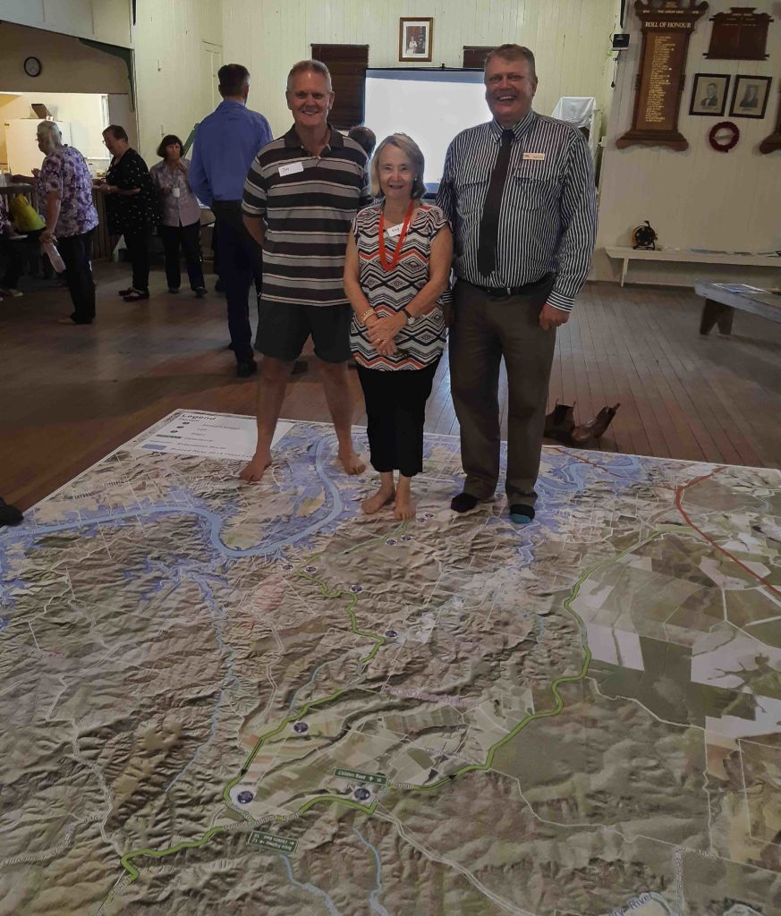
Gathered around a large floor map, members of the Pine Creek, Givelda and Electra communities were updated on the construction and future use of the Givelda Flood Evacuation route.
At a public meeting in the Pine Creek Community Hall, 21 local residents joined Council staff, kicking off their shoes to ‘walk the route’ as discussions were occurring.
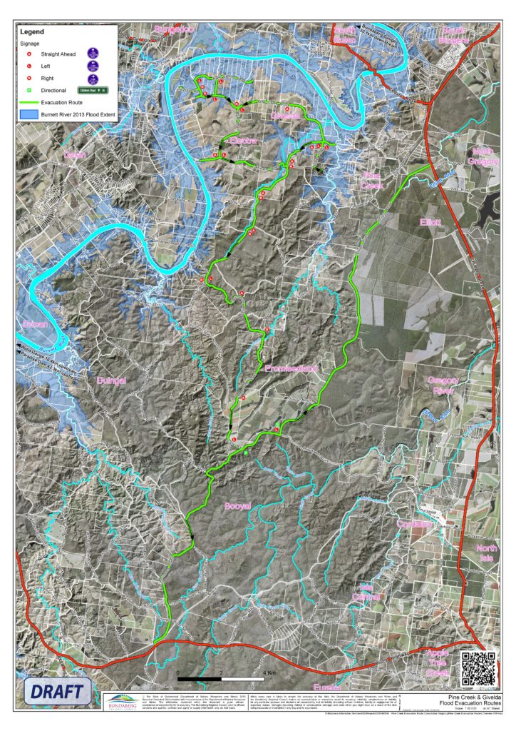
The group heard that works are well underway on the route, located on Lenihans Road, with clearing completed and all cultural and environmental obligations being met.
The concrete base for the Cherry Creek Crossing culverts is currently being installed and road subgrade works are nearing completion in preparation for placement of gravel. The two floodways will be installed in the next fortnight.
The evacuation route is one of a series of projects identified by Bundaberg Regional Council and the Queensland Government following the 2013 floods and now forms part of the Bundaberg 10-year Action Plan.
The Givelda Flood evacuation plan provides residents of Pine Creek, Givelda and Electra better evacuation routes and will reduce their isolation during flood events.
Bundaberg Regional Council divisional representative Cr Wayne Honor said the works were of critical importance to local residents.
“The flood evacuation route means everything to the Pine Creek community,” Cr Honor said.
“This community was severely deprived during the ’13 floods.
“I feel that the people here tonight have agreed very strongly with the process that has taken place up to this point in time and everyone looks forward to the outcome of what has been a long time in the planning.
“And congratulations to the State Government and the engineers at Bundaberg Regional Council and the Council as a whole, for supporting the community through this process to an outcome that is a positive for the future of flooding here at Pine Creek,” Cr Honor said.
In addition to the construction of the evacuation route, signage will be installed along the length of the recommended course.
This signage will provide reassurance to motorists as to the safest path to access Childers or Bundaberg, as well as radio stations to provide information in the case of a weather event, and the UHF channel to stay in touch with neighbours and Emergency Services.
Members of the original Community Reference Group from 2013, Kay Amsler and Jon Carman attended the meeting and were pleased with the overall project delivery and the information provided to the community.
“Very informative update tonight about the flood gauges and technical information, as well as the online booklets available and a big thing is pushing the radio information available through the ABC,” Kay said.
“Whilst this route may not help everybody to evacuate in a very high flood, it would still be available in a moderate or minor event.”
Local residents are encouraged to familiarise themselves with the interactive mapping available via Council’s website to learn how to interpret the gauge levels and when evacuation should be considered.
The Givelda Flood Evacuation route, along Lenihans Road, will be accessible from mid-November 2019.
The Givelda Evacuation Route is an initiative of the Queensland Government, made possible through the funding of $1.1 million.
- Other news: Pine Creek Country Farmers Markets a huge success
- Weather Bureau says lower risk of cyclones, flooding


