
Parts of Bundaberg East, Bundaberg South and the CBD will be better protected from future flooding after the Federal and State governments today announced the build a 1.7km concrete levee parallel to the southern bank of the Burnett River.
The $174.7 million, jointly funded Bundaberg East Levee project will not only help safeguard homes, businesses and the local economy from the devastation of major flooding, it will also create local jobs and business opportunities during its construction.
The project’s concept design – developed with community consultation in 2018 – will mitigate future flood damage within the Bundaberg East, Bundaberg South and Bundaberg CBD precincts.
It involves construction of a concrete levee in two main sections as well as floodgates, flood doors and pump stations across Saltwater Creek and an unnamed creek known locally as ‘Distillery Creek’.
The levee was the most beneficial of four options identified under the 10-year Bundaberg Action Plan as able to help reduce the risk of flood devastation such as that experienced following ex-Tropical Cyclone Oswald in 2013 and the significant rainfall and flooding early last year.
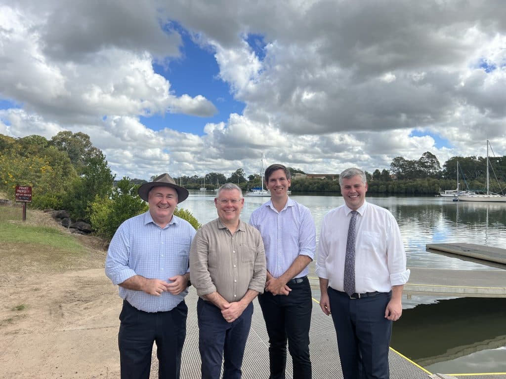
Federal Minister for Emergency Management Murray Watt said Bundaberg was hit particularly hard in the significant flood event in 2013 and parts of the city were vulnerable when rains start pelting down.
“It will significantly improve flood protection for families in the city’s east, south and CBD precincts,” he said.
“Under the former Morrison Government, the Emergency Response Fund failed to build a single disaster mitigation project in three years, while earning them over $800 million in interest.
“Now, we are using this fund to make a real difference for Bundy.
“We know that every dollar spent on disaster resilience and mitigation delivers a return on investment to governments and households nine times over, while also putting downward pressure on insurance premiums.
“While we recognise that there is still a significant amount of work to go, we will continue to collaborate with the Queensland Government to get shovels in the ground, and we are ready to step up to the challenge.
Member for Bundaberg Tom Smith said the levee was vital to the community.
“This is both a major investment in Bundaberg’s safety and in its economic prosperity,” he said.
“We know that residents are eager to see works start and with the help of a federal Labor Government we are getting on with the job.
“I know that having spoken to local householders and businesses throughout the East, South and CBD suburbs that they want the security that comes with this flood levee.
“Today is important because together our governments are delivering the steps towards that confidence and security.
“This levee project, along with the $1.2 billion rebuild of the Paradise Dam, and the $1.2 billion New Bundaberg Hospital will truly be transformational for Bundaberg.
“Whilst delivering the Bundaberg East Flood Levee will protect many from devastation, I will continue to ensure that all practical mitigation and evacuation projects are pursued across the whole of our Bundaberg community.”
Minister for Police and Corrective Services and Minister for Fire and Emergency Services Mark Ryan said Queenslanders were no strangers to natural disasters with more than 100 extreme events experienced in this State since 2011, causing more than $22 billion in damage.
“Each and every one of those disasters leaves its mark on local communities,” he said.
“This project is intended to protect the Bundaberg community and property behind the levee from a Burnett River flood event similar to the 2013 flood.
“The $174.7 million levee will be the second of four projects to commence through our 10-year Bundaberg Action Plan, developed to reduce the impact of flooding in the community.
“I’m so pleased the Federal Government are partnering with us to fund this much-needed major infrastructure project so local homes and businesses are better protected and, most importantly, families are safer when extreme weather does strike.”
Bundaberg Regional Council Mayor Jack Dempsey said the levee plan was a welcomed announcement.
“The severe rainfall and flooding in January 2013 remains a significant and traumatic disaster for many families and businesses right throughout the Bundaberg Region,” he said.
“The East Bundaberg flood levee was identified as Council’s number one disaster mitigation priority and we thank the State and Federal Governments for this major funding commitment, which is something we have been advocating for.
“The levee will protect hundreds of homes, major industries and the CBD without increasing flood impacts in other areas.
“The next phase of consultation will be the chance for our community to consider exactly how we leverage this project to deliver a legacy for generations to come.”
Queensland Reconstruction Authority CEO Major General Jake Ellwood (Retd) said the levee would be a multi-faceted project involving many levels of government and organisations.
“One of our main functions at the Queensland Reconstruction Authority is to strengthen disaster risk reduction and resilience in local councils and communities such as Bundaberg and regions like the Wide Bay-Burnett,” he said.
“This includes supporting the delivery of infrastructure to manage flood risk, so communities are better prepared for and protected against the impacts of natural disasters.
“The Bundaberg East Levee will be a shining example of flood-resilient infrastructure and a valuable, long-term asset for this wonderful region.
“We can’t stop floods, cyclones and severe storms from happening, but we can and will keep working to strengthen disaster resilience in Queensland.”
Bundaberg East Levee Project
The Bundaberg East Levee Project is jointly funded by the Federal and State Governments through the Queensland and New South Wales Flood Recovery and Resilience Package, as well as efficiencies Queensland has achieved through Disaster Recovery Funding Arrangements.
The Flood Recovery and Resilience Package, in which Queensland and NSW have each been allocated $75 million, is funded through the Emergency Response Fund 2021-22 for recovery and post-disaster resilience initiatives for flood-impacted communities.
A number of other high-priority flood-mitigation projects across regional Queensland have been funded under the ERF 2021-22, including the:
- Continued roll-out of the Flood Warning Infrastructure Network ($7 million)
- Perth Street culverts project – Toowoomba Regional Council ($3.35 million)
- Price Creek Bridge – Scenic Rim Regional Council ($3.1 million)
- Easey Street Drain – Southern Downs Regional Council ($1.14 million)
- Southside Transport Flood Detour Route Upgrade – Gympie Regional Council ($986,000)
- Recovery grant – Shared across 23 flood-affected council areas ($1 million)
Further information on the Queensland and New South Wales Flood Recovery and Resilience Package can be found at the National Emergency Management Agency’s website.


Why On Earth is the first flood levee not being built to protect Bundaberg North ?
Bundaberg North sustained far more damage Than any other area of Bundaberg.
Surely it should have priority.
The current exhibition at BRAG is testimony to the ruined houses and sink holes of Bundaberg North.
I have just bought the block at 12 Tallon St Bundaberg North where the previous house was washed away by the 2013 flood.
So I am shocked and very disappointed.
The CBD, Bundaberg East and South were barely affected in comparison to Bundaberg North’s devastation and mud bath.
Could Jack Dempsey and Murray Watt kindly explain. Thank you, Pippa Hague
Well, that’s great for everyone on the south and east sides but what is that going to do to the people in the north side? Water has to go somewhere.
What about north Bundy we are part of Bundaberg and we need a route to evacuate if needed.also a early warning of possible flood . Why is East more valuable to you than north.
Unfortunately there appears to be little that can be done for much of the North to reduce flooding. The bulk of all plans presented will have little to no impact on reducing flooding in the North. It is the low part of town.
The benefits to the North are…
1. By reducing impact on other areas we can foucse assistance on the North if & when it is flooded again.
2. Evacuation plan improvements
3. Floodway House Purchase Scheme
–
I suggest you guys take advantage of the Floodway House Purchase Scheme if you can.
The flood levee design route serves one purpose for its asset life to divert water where innovative ideas and designs should be investigated. History shows engineers built a rail line from the rail centre to fuel depots and Millaquin Mill above flood levels to maintain supply to East Bundaberg many years ago (look up 1974 flood).
The same route should be reused this time by road with a second dual road bridge across Saltwater Creek with flood gates and to accomodate vehicles connecting through the old Burnett Sawmill area and exiting Princess and Cross Street are per the old rail line.
This first stage road levee gives dual purpose to allow access to services during events with a second stage raising Gillen Street and connecting to Alexandra Street Road access and designs should be investigated with buy back of land though council is trustee of many.
Others purposes using road levee is adding pathways connecting to Rum Distillery and further along Alexandra Street to McGills Road by future pathway to Burnett Heads. Instead of adding trail bike way to Gin Gin use the budget to create new bike way to Burnett Heads allowing connection from Bundaberg to all coastal areas for bike and running events.
The land Bundaberg Sugar owns between McGills Road and Strathhdees Road should be investigated for the third stage of infrastructure of road and bike trail. If overland flow cannot be diverted into the river than roads will be cut and this concept maintains a workable solution for East Bundaberg community and coastal areas.
The flood levee design route serves one purpose for its asset life to divert water where innovative ideas and designs should be investigated. History shows engineers built a rail line from the rail centre to fuel depots and Millaquin Mill above flood levels to maintain supply to East Bundaberg many years ago.
The same route should be reused this time by road with a second bridge across Saltwater Creek with flood gates to accomodate vehicles connecting through the old Burnett Sawmill area and exiting Princess and Cross Street. This first stage road levee gives dual purpose to allow access to services during events with a second stage raising Gillen Street and connecting to Alexandra Street Road access and designs should be investigated with buy back of land though council owns the park.
Others purposes using road levee is adding pathways connecting to Rum Distillery and further along river to McGills Road by future pathway to Burnett Heads. Instead of adding trail bike way to Gin Gin use the budget to create new bike way to Burnett Heads allowing connection from Bundaberg to all coastal areas for bike and running events.
The land Bundaberg Sugar owns between McGills Road and Strathhdee Road should be investigated for the third stage of infrastructure of road and bike trail. If overland flow cannot be diverted into the river than roads will be cut and this concept maintains a workable community.