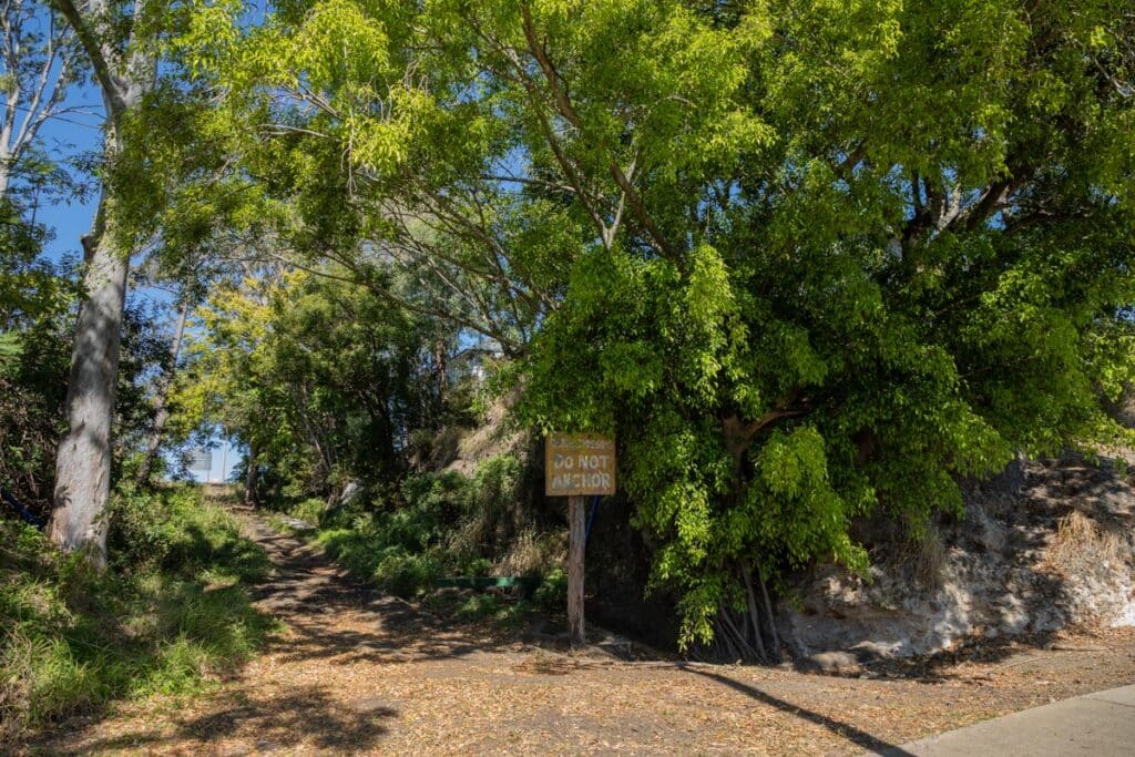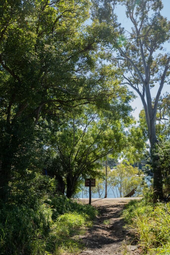
The Bundaberg ferry cutting on the south bank of the Burnett River is an important reminder of the early days to Bundaberg’s development in the 1870s.
This notable remnant of the region’s cultural and social heritage is listed on Bundaberg Regional Council’s Register of Local Heritage Places.
Historical context
As land in the Bundaberg Region was cleared for pastoral properties from 1840s to 1860s, industries serving the growing development also began to be formed.
An oversupply of cattle and sheep in the 1860s led to the establishment of a boiling down works at Baffle Creek for the production of tallow.
Brothers John and Gavin Steuart, who had a contract to supply timber for the making of the tallow casks, erected a sawmill on the northern side of the Burnett River in 1866.
Bundaberg’s first wharf facilities were established on the northern bank, as was the terminus of the road from Mount Perry copper mine.
Interest in the settlement grew rapidly and a town was surveyed on the southern bank of the Burnett River in 1868 on the site of the present day city.
In the early years of the settlement, the only means of crossing from one bank to the other of the Burnett River was by private boat.
Business owners on the southern bank became concerned that a town might emerge around the industries on the northern bank and challenge the officially surveyed town.
In the early 1870s, local citizens called for a public ferry service to be introduced, and representations were made to the Queensland State Government regarding the scope and site of the works.

The ferry service commenced on 1 November 1873 on a 45m long hardwood and pine punt, designed and built by Mr James Jass.
By the late 1870s, citizens demanded a bridge, as the ferry was seen as inadequate, however the demand was not immediately successful.
A Joint Ferry Board was created in 1887 and a steam punt was ordered from Walkers’ Foundry in Maryborough to improve the service.
Demand for the bridge continued and the Burnett Bridge was constructed in 1900.
The ferry was the only public means of crossing the Burnett River at Bundaberg for nearly 30 years, and the cutting represents the only tangible evidence remaining of the method of crossing.
Physical features
The Bundaberg ferry cutting is located on the northern end of Maryborough Street on the southern bank of the Burnett River, west of the Burnett Bridge.
A path leads from the intersection of Maryborough and Quay Streets down to the riverbank through sloping terrain.
The embankment shows reinforcement with rocks and cement at the base and near the river on the western side there appears to be steps hewn into the rock.


Absolutely throughly I joyed the information and the history,thank u very much.