
Showers and possible storms are expected to continue until Monday, according to the latest forecast from the weather bureau.
Rainfall totals across the region between 9am yesterday and 6am today have been patchy, ranging from 2mm at Cordalba to 15mm at Gin Gin.
The bureau is forecasting a “shower or two” today, with showers and a possible storm on Saturday and 6-20mm of rain and pretty much the same for Sunday.
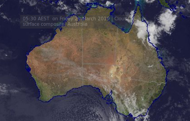
A moist, tropical air mass extends through much of Queensland to the east of a surface trough that lies over the west of the state.
BOM says an upper trough will approach the southwest of the state later today and will interact with the moist air mass to lead to showers and thunderstorms across much of the state with some locally heavy falls.
The upper trough and surface trough will move east across the state on Saturday and should shift off the southeast coast on Saturday night.
The surface trough should continue to shift northwards on Sunday and Monday with storms gradually contracting to the northeast of the state.
A high moving east across the south of the continent will extend a firm ridge across the west and south of the state on Sunday and Monday, in the wake of the trough.
For the rest of today showers and thunderstorms will continue over much of northern and eastern Queensland with some locally heavy falls possible. There’s a medium to high chance of showers in the southeast.
Rainfall since 9am Thursday
| Location | Rainfall (mm) |
| Gin Gin | 15 |
| Bucca | 11 |
| Bargara | 6 |
| Moore Park Beach | 4 |
| Bundaberg | 11 |
| Woodgate | 11 |
| Childers | N/A |
| Cordalba | 2 |


Elliott Heads. 22mm. For same period…..
Comments are closed.