
The South Isis Cemetery, established during the 1870s, demonstrates the evolution of the region’s history particularly the settlement of the district.
Listed among Bundaberg Regional Council’s Local Heritage Places the fascinating record of why it was formed is shared with the community.
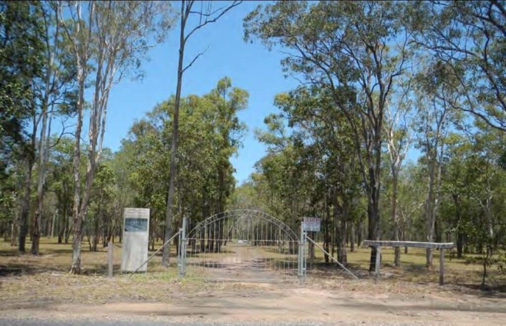
Located on Aerodrome Road, Isis River, the South Isis Cemetery was established after settlement of the South Isis district began as early as 1872 when land in the district was first opened to selection.
The Isis district became an important area for sugar cane farming and refining from the 1880s.
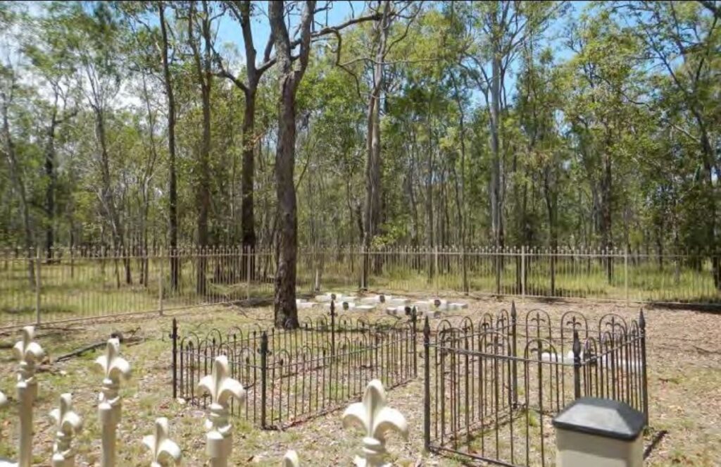
The South Isis Cemetery is located in bushland south of the Bruce Highway in levelled, lightly forested area and grassed terrain.
The rectangular site of approximately eight hectares is bounded by Aerodrome Road in the north, farmland to the west and bushland to the east and south.
The Isis River is only a short distance from the southern boundary.
The first blocks of land in the district were selected in the early 1870s.
The earliest burials at South Isis Cemetery were dated from 1877, with closer settlement in the South Isis district stimulated by the construction of the railway from Maryborough to Childers in 1887.
Children were admitted to the school in that year, indicating the nucleus of an existing settlement and its expansion with the railway.
As with the majority of the Isis, sugar cane was the primary crop, although other crops were also grown.
The South Isis Central Mill was established in the mid-1890s, but its land was almost immediately sold to CSR (with its mill at Huxley).
A tramway was constructed for the mill was linked to the Huxley mill so sugar cane growers in the South Isis could transport their cane to the mill.
The cemetery ceased to be used in the 1940s as it was found to be flood prone, which was likely following the 1942 flood.
The Apple Tree Creek was then used for burials from the district. Read about its history here.


