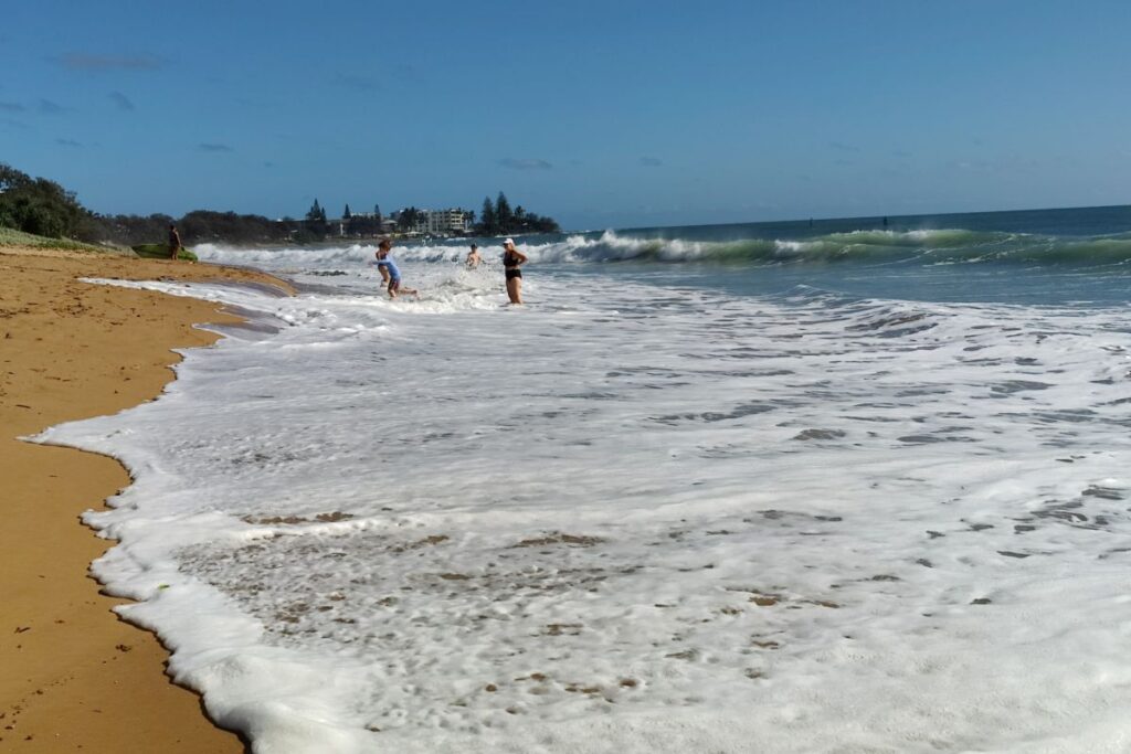
It was hard to find a spot on Bundaberg Region beaches this morning as the summer king tide was pushed even higher by Tropical Cyclone Seth.
According to Maritime Safety Queensland, this morning’s official high tide at Burnett Heads was 3.45 metres at 8.07am.
Earlier, the Bureau of Meteorology warned that tides would be abnormally higher due to TC Seth, which at 4am was about 630km east-northeast of Hervey Bay.
The weather bureau said Seth was moving in a southerly direction while maintaining category one intensity.
“It should slow down and turn towards the southwest on Sunday afternoon. On Monday, Seth is expected to be weakening as it transitions into a sub-tropical system,” the bureau said.
“Movement beyond this time becomes uncertain, however there is a general indication that it will drift westward closer to or over the Australian coast during next week.
“The tropical cyclone is not expected to directly impact the coastline in the next 48 hours, however it will cause dangerous surf and abnormally high tides about the southeast Queensland and northeast New South Wales coastlines from Sunday.”
Maritime Safety Queensland (MSQ) says during normal weather conditions, the height of king tides is similar from year to year.
“However in abnormal weather conditions (severe storms or cyclones) the low air pressure and strong winds at these times can elevate the sea level above the expected height.”
King tides occur twice a year in summer and winter.
“The king tides occur because of the combined influence of a number of astronomical factors related to the Sun and the Moon (and their alignments) and the gravitational attraction they each have on the water surface of the Earth,” MSQ says on its website.
For the latest weather alerts and emergency information visit the Bundaberg Region Disaster Dashboard.
- 2021 weather records


