
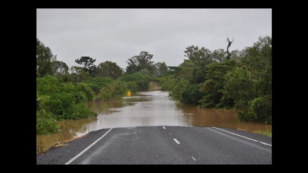
A catchment wide flood study of the Burnett River and its major tributaries is underway with residents asked to submit historical flood information to add to Bundaberg Regional Council’s extensive flood data collection.
A refresh of existing flood information, downstream of Paradise Dam, is being undertaken as part of the study in a collaborative partnership with Councils from within the Burnett River catchment area including Gympie, Cherbourg and South and North Burnett.
AECOM has been engaged to deliver and coordinate the Burnett River and Tributaries Catchment Flood Study across the five Council areas with the first stage of the project focussed on hearing from communities about their experiences.
A combined project website has been launched by AECOM where residents can provide their feedback online at https://anz.planengage.com/burnettriver and Bundaberg Region residents can also attend a face-to-face consultation session planned for early October.
Bundaberg Regional Council Local Disaster Management Group chair Mayor Helen Blackburn said the more Council understood about flood behaviour the better its flood management and response would be.
“Bundaberg Region residents have already provided significant information and we are also lucky to already have access to very sophisticated flood mapping and planning as a result of that extensive research undertaken following the 2013 flood event,” Mayor Blackburn said.
“We’re about a decade on from that consultation and it’s important we ensure our planning remains aligned with the most up-to-date information available.
“Whether it’s changes in landscapes from our growing community, new policies and technology or access to historical data we didn’t have before, there are a range of factors which could impact land-use and infrastructure planning.
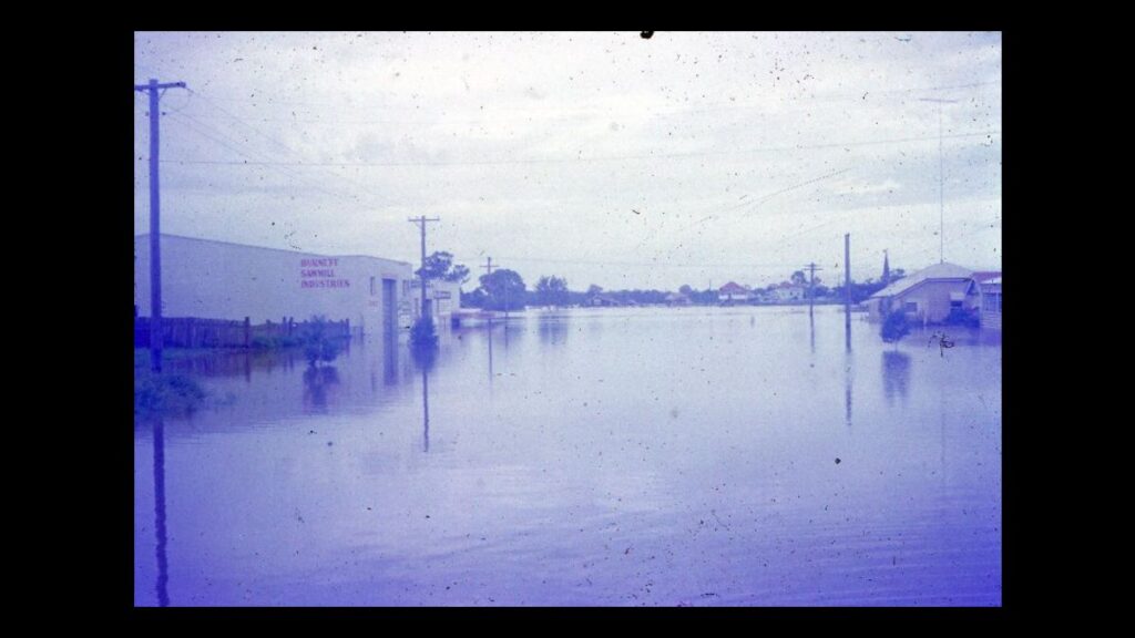
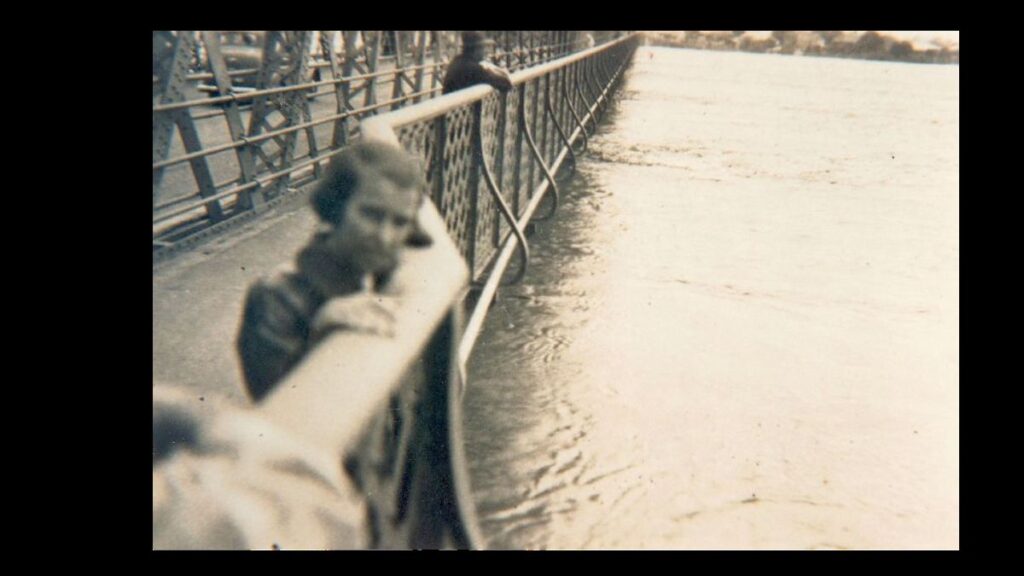
“Anyone with historical information to share about Burnett River flooding is urged to take part and share their knowledge whether its photos and video or simply your memories of flood behaviour like how fast the water rose in a particular area or how it impacted your property.
“This level of detail helps us to paint a really accurate picture of the impacts of a flood event.”
Mayor Blackburn said, in addition to the AECOM project webpage where residents in all Council areas could provide their feedback, Bundaberg Regional Council had launched its own project page for the flood study where locals could find out more about the historical flood data already collected.
“Even if you don’t have feedback to submit, I encourage you to have a look on the Bundaberg Region project page where you can learn more about the information and data already collected including historical flood heights and aerial imagery.”
Provide feedback online or attend consultation session
The AECOM website features an interactive map which allows residents to drop a pin on a precise location before completing a feedback form.
Clicking the ‘provide feedback’ button will also allow residents to send their information via email rather than using the map.
Feedback can be provided in a range of forms including flood marks, photos, videos or newspaper clippings.
Observations about flood behaviour are also sought such as timing, depth and the extent of flood waters.
In Bundaberg there will be an opportunity to provide input face-to-face:
When: Tuesday 8 October from 11 am to 7 pm
Where: Bundaberg Multiplex, 1 Civic Avenue, Bundaberg West
Who: AECOM and Council representatives
What’s next for the flood study?
Following the consultation period, which is now open and closes on 25 October, AECOM will collate the data and develop the flood study which will encompass the entire Burnett River catchment area.
The preliminary findings are expected to be provided for community feedback in early 2025 with the study set to be finalised and published by late 2025.
Mayor Blackburn said Council was grateful to have received full funding for this project along with the support of partner Councils.
“It’s so rewarding to be partnering with the Queensland Reconstruction Authority and our neighbouring Councils to update our flood information and improve our flood management and response,” Mayor Blackburn said.
“This is a regional collaboration and we are all stronger when we work together.”
The flood study is jointly funded by the Australian and Queensland Governments under the Flood Risk Management Program.
- Other news: Bundaberg Bushwalking Club celebrates 40 years


