
In this week's beach report, Craig Holden says a lot of what happens on local beaches will be dependent on the track of Severe TC Niran, but it's expected strong winds and big wave heights.
Important note: Remember there are updated COVID-19 restrictions, if you are at the beach, please maintain the social/physical distancing minimum guidelines and abide by the current group gathering guidelines as well.
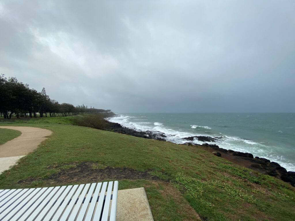
Weather: Well, the start of the week brought great beach conditions for beachgoers, but once again things changed quickly with the arrival of gusty SE winds from Wednesday night onwards, which in turn whipped up messy and choppy ocean conditions from yesterday.
Looking ahead to the coming days and a lot of what happens on our local beaches will be dependent on the track of Severe TC Niran over the coming days.
Now whilst it is not forecast to come towards our coastline, it is forecast to move southwards and off the coast, so there will no doubt be increased wave heights on local beaches for the next 1 to 2 days, combined with more gusty SE winds through today and again tomorrow.
Today’s winds will be from the E/SE at 20 to 25 knots, before easing slightly tomorrow to be from the S/SE to E/SE at 15 to 20 knots, and then easing even more by Sunday and back to only 10 to 15 knots from the E/SE.
Swimming: Swimming conditions are going to continue to be quite ordinary through today and even tomorrow before Sunday hopefully brings much more pleasant swimming conditions for beachgoers.
The strong winds and expected increase in wave heights will make for tricky swimming conditions over the coming two days, with strong side currents expected across most beaches with rips also likely to be present on those more open and exposed beaches, so swimmers will need to swim with caution at least through today and tomorrow.
The good news, however, is that conditions should settle down by Sunday, so this would certainly be the better day to hit the beach.
The better beaches will be those that offer some protection from the strong winds, so Hervey Bay and also Agnes Water (adjacent to the headland) would be the better options, but also Moore Park Beach and Nielson Park as well.
Please check with the lifeguard or lifesavers on duty, read any safety signage or messages, and most importantly please swim only at patrolled beaches, only between the red and yellow flags, and only during patrol times – remember, if we can’t see you, we can’t save you!
Beach patrols: today and weekdays – 9am to 5pm at Kelly’s Beach and Agnes Water only
Saturday and Sunday – 9am to 5pm at Elliott Heads, Kelly’s Beach, Nielson Park, Oaks Beach, Moore Park Beach and Agnes Water.
Surfing: The wave heights have increased on local beaches since yesterday, but because of the strong winds, the waves have also been very messy and sloppy as well.
These wave heights should persist through today and tomorrow with an increase also likely through today as well, but once again, messy conditions will be the norm.
For best results head to locations such as Agnes Water, Nielson Park, Mon Repos and Moore Park Beach through today and tomorrow, whilst early Sunday morning may also produce a smaller, but cleaner wave. Good Luck.
For the SUP and ocean ski/kayak paddlers, the ocean is going to be quite messy and lumpy across today and tomorrow before it starts to settle down a little more by Sunday.
For the more experienced paddlers, there should be good downwind paddling conditions (south to north) through today and tomorrow, as well as some messy but fun-sized waves, but for those less experienced paddlers, the protected and sheltered waterways will again be the better option.
Events: Nil
- Last week's beach report: High tides up to the dunes this weekend


